Wednesday, May 1, 2013

Beauty by the Mill River

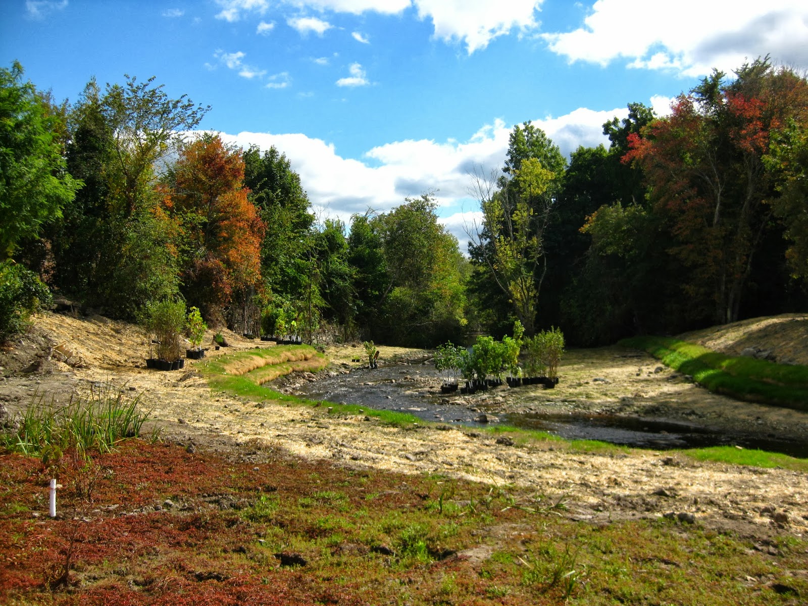
Tim Watts found and photographed these trout lilies (Erythronium americanum) just downstream from the Hopewell Mills dam removal site.  Below is a poem from Tim.  According to historical documents, Cohannet was the name given by Native Americans to the first falls on the Mill River, perhaps in the vicinity of Hopewell Mills Dam.

Trout Lilies at Cohannet

I wandered up the stream bank to the tune of tumbling riffles, cardinals calling.
Sights and sounds familiar in a peculiar sort of way, all speaking. 
Speaking from sometime past, tickling  a tick of memory within. 
Mottled leaves at my feet, trout lilies, tender flowers bowing, being, beauty and grace.  
From beneath the canopy of maples I meander into morning sunlight. 
Winding away before me a ribbon of water unfurls, washing across gravel, unrestrained but buy the contour of cobble over bedrock beneath.
What is this place I ask?
I know the name given it by those that prospered from it. 
I know the name given it by those that labored for that prosperity. 
I know, I hear, I see something different now. 
I know she flows free.
I hear whispering in her riffles.
Mother Nature's patient laughter. 
Only time will tell her tale.
Together we shall see.

Tuesday, April 23, 2013

Watch the Mill River herring in action

The Massachusetts Division of Marine Fisheries (DMF) continues to catch Mill River herring and other resident fish on underwater video camera upstream from the Hopewell Mills Dam Removal site.  The first video shows river herring posing for the camera as they consider whether or not to swim into the monitoring trap.  The second video shows a trout (possibly eastern brook trout?) heading downstream.  Thanks to DMF's Mike Bednarski and Brad Chase for  this great monitoring project, funded by DMF, The Nature Conservancy, and NOAA's Open Rivers Initiative.
video

video


Thursday, April 4, 2013

The Fish are Back!

After 200 years, river herring have been spotted in the Mill River above the Hopewell Mills dam. The Division of Marine Fisheries recently set up a video monitoring station at Reed and Barton, and have been recording a stream of video footage. Many fish use the river, and from what has been reviewed, these fish include yellow perch, chain pickerel, trout and our first river herring!

Because this is a large project that includes removal of three dams and building a fish ladder, it provides a perfect opportunity to study the response of this river system to restoration efforts. Monitoring will continue with each removal, and a monitoring system will be put in place at the fish ladder as well. We will post video when it becomes available, and will continue to provide updates of fish sightings. For now, we are looking forward to seeing the new channel when grass begins to grow.


Thursday, December 13, 2012

Mill River to Mother Nature: "It's your turn, now."

12/11/12 - Today marked completion of human-led work at the Hopewell Mills Dam site, and the start of Mother Nature's lead role. 


 Photo 1: Mill River looking upstream through the former spillway site. Contractors installed tree trunks as bird perches on the floodplain.


Contractors planted the site last week with native trees and shrubs.  Hydroseeding took place today (that's the bright green you see in the photos).  Next week I'll add a few before - during - after photo sequences.  After that, the blog will take a break until the Whittenton Dam Removal Project begins upstream in few months.
   
 Photo 2&3: These pictures look downstream towards the former spillway.  In the photo above, logs and rootwads installed as habitat poke out of the stream bank.


Photo 4: This picture looks upstream from the former dam, across the impoundment, towards the Reed & Barton mill (brick buildings and smoke stack associated with the mill are in the distance).  The weird green color comes from the hydroseeding.


Wednesday, November 28, 2012

The last scoop

November 27, 2012 -- Today, RC&D removed the last scoop of sediment from the former mill pond.  The floodplain of the river is now revealed. 


Unlike what you might expect, the floodplain is not flat -- instead, it has gently sweeping highs and lows.  The engineers had included highs and lows in the design plans (referred to as "microtopography").  In the end, it was not necessary to build in the microtopography; it was already present in the natural contours.

 
Over the next week, landscapers will be planting the floodplain with native trees and shrubs, tailoring the location of the plants to the topography.  Plants that prefer wetter conditions will cluster in the low spots.  Those that thrive in slightly dryer conditions will sit on the gentle rises.  Next spring, as plants bloom or leaf out, this topographic variation will lead to a colorful mosaic.

Monday, November 5, 2012

What do the neighbors think?

The Mill River is lucky to have the Machado family watching out for it.  From their lawn at the upstream end of the former mill pond, the Machados have had a front-seat view of the dam removal project.  Every day, rain, shine, or hurricane, the Machados are outside watching the construction action.  They are familiar with every detail of the construction work.  On weekends, when the construction crews are at home, the Machados relocate fish and turtles from the construction site to nearby rivers and ponds. 

"This project is a dream come true," says Mr. Machado.  "I never thought I would see it happen in my lifetime".  He and his family enjoyed watching the swans, geese, ducks, and turtles that lived in the impoundment.  Now they are excited to see herring, kingfishers, ducks, herons, and eel return to the river in the spring.  We fully expect that the turtles will be back, too.


Here's the view from the Machado's lawn last week.  The dam site is too far in the distance to see; you are looking downstream towards it.  The Mill River is in its new channel and is almost bankfull in response to Hurricane Sandy.

Here's the same view a month ago:


And here's the site looking upstream from the former dam towards the Machado's house:


Thursday, October 25, 2012

Mill River channel restoration completed


Other than touch-up work, stream channel restoration is done.  I took this picture from the middle of the impoundment looking downstream towards the former dam.  At the upper right hand corner of the photo is a bare slope.  This is where the Hopewell Mills Dam sat.  It extended from that bare slope all the way to the right edge of the photo.
 

I took this photo from the downstream end of the impoundment; it's the last meander bend before the river reaches the former dam site.  The engineering plans included pools, point bars, and gravel deposits, all of which can be seen in this photo.


 I took this picture from the middle of the impoundment looking upstream.  The brick Reed & Barton silver mill is in the distance.  Now that the channel construction is done, the crews will continue removing contaminated sediment from the floodplain and plant the floodplain with native trees and shrubs.